
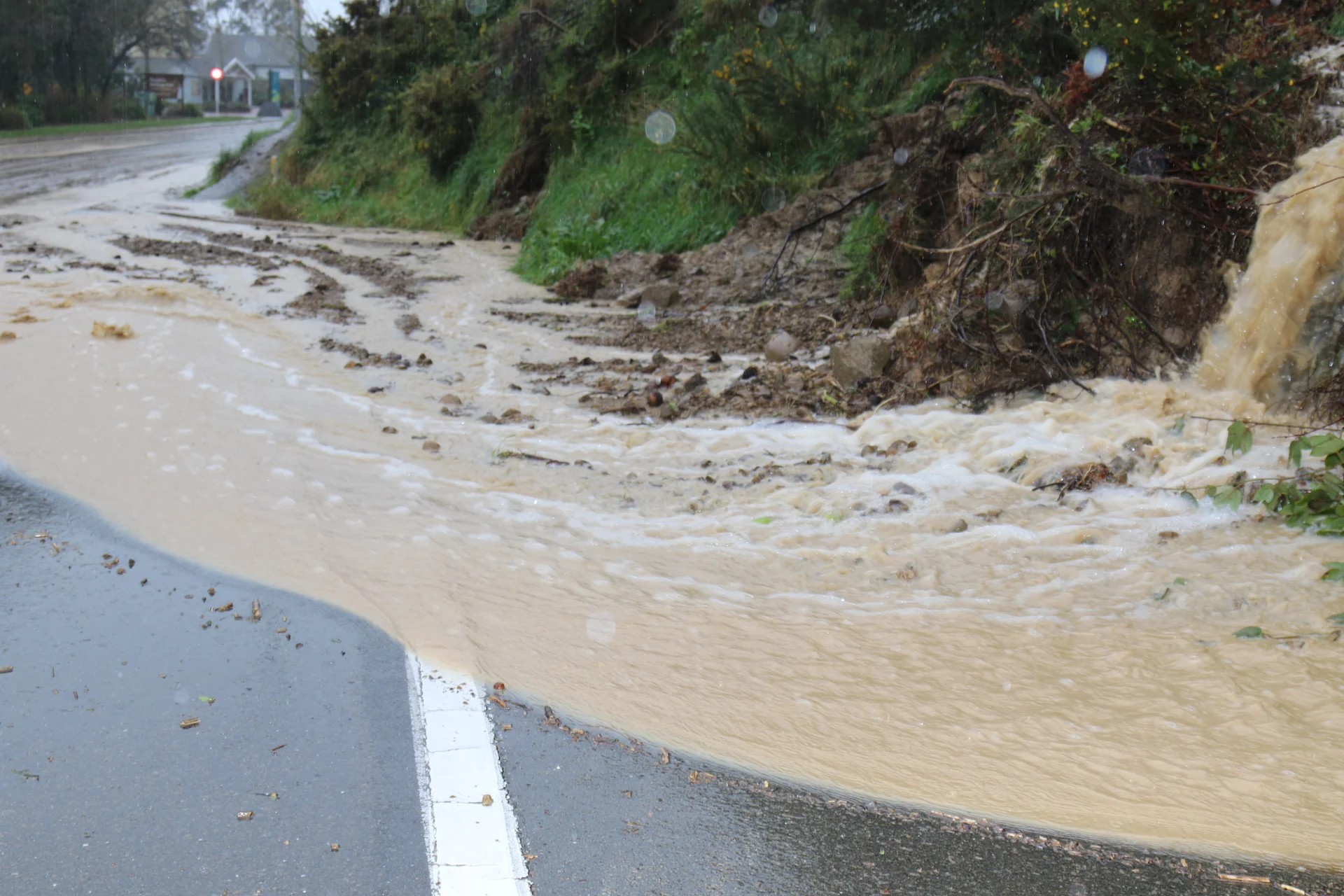
A slow-moving front could bring a period of heavy rain to Nelson and Tasman later this week, causing concern for more slips as the region recovers from it’s wettest winter on record.
Metservice say the front should also bring a period of rain for Tasman, Nelson and Marlborough from late Friday into Saturday, with heavy falls about the ranges likely to cause more problems in the already sodden region.
MetService Meteorologist Stephen Glassey warns we could see over 300mm in the ranges of Westland later this week, and possibly 50 to 70mm in the ranges near Nelson and northern Marlborough.
“This amount of rain wouldn’t normally cause too many problems in Nelson and Marlborough but because they have already had extreme amounts of rain recently it could lead to more slips,” he says.
Nelson and Blenheim have already beaten their wettest winters on record by considerable margins, getting almost three times their average for winter.
Nelson Airport has recorded over 700mm rain since the beginning of June, beating their previous record of 570mm in 1970.
Meanwhile, Woodbourne Airport in Blenheim has had around 560mm this winter beating their previous record of 377mm in 2010.
Metservice say Orange Heavy Rain Warnings and Watches are likely to be issued for the West Coast, Tasman, Nelson and Marlborough regions in the coming days.
