
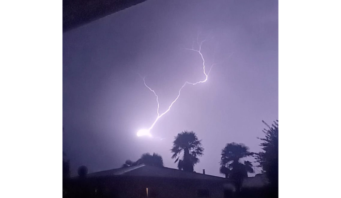
Nelson recorded more than 3300 lightning strikes during Monday, more than a third of the entire country's almost 9000 strikes.
Unsettled weather was the theme for much of the country over the Easter weekend, and Metservice says it is expected to continue for the next couple of days, thanks to an unstable airmass over the country.
Monday saw particularly active weather, with nearly 9000 lightning strikes recorded over Aotearoa in 24 hours. Just over a third of those strikes were recorded in the Nelson region, with another thousand over the Bay of Plenty.
“Thunderstorms are also associated with damaging wind gusts, and we’ve also had reports of tornadoes, although they’re difficult to confirm without photo or video evidence due to their very localised nature,” says MetService meteorologist Alwyn Bakker.
Thunderstorms are expected to continue today, with Severe Thunderstorm Watches out for Buller and Westland, as well as the upper half of the North Island.
Heavy rain is also expected for parts of the South Island this week, with an Orange Heavy Rain Warning out for northern Westland, and Heavy Rain Watches for Buller, the headwaters of the Canterbury lakes and rivers between Lewis Pass and Mount Cook, North Otago and Dunedin.
There’s a bright spot on the horizon, however. The weather is set to improve towards the end of the week, as a ridge starts to build southeast of the country.
