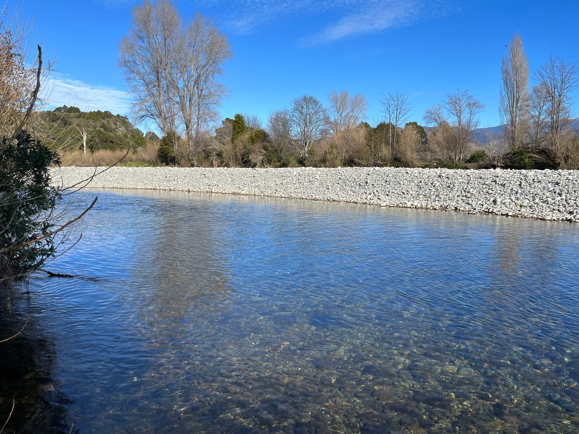
Gravel build-up in local rivers and the subsequent heightened risk of flood damage were the central concerns of farmers and landowners at a river care meeting held in Tākaka recently.
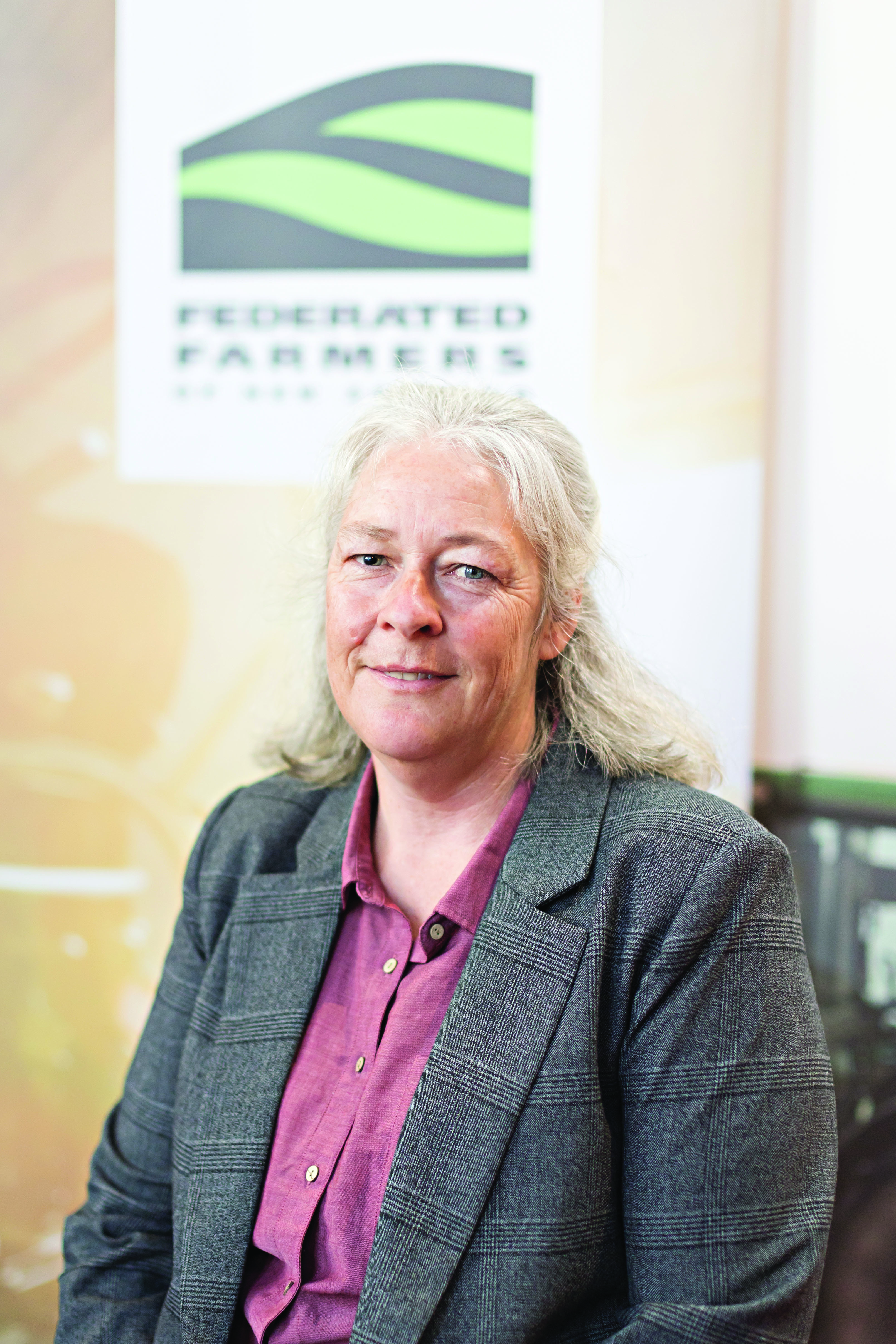
“Much like the accumulation of the gravels themselves, frustrations have built up over many years,” local dairy farmer and Golden Bays Federated Farmers president, Cherrie Chubb, says.
“Some of the frustration comes from not having local knowledge valued and having no transparency over what the forward works are planned.”
Tasman District Council (TDC) came to the meeting well equipped with staff, Ward Councillors, a Community Board representative and also its chief executive.
TDC team leader – stormwater, rivers and waste, David Stephenson, spoke to some of the issues and constraints faced by Council and gave a breakdown of the data on which decisions like gravel extraction are made.
He explained that recent flood events in the Tasman District have caused significant damage in localised areas and that the remediation work has put pressure on Council’s forward works programme.
The programme looks to maintain flood capacity and stable river alignment by use of a range of methods including rock work, groynes, woody weed control and gravel management that includes raking and extraction.
The introduction of better mapping and survey tools now at Council’s disposal, such as Lidar imaging (advanced mapping) and their own drone use, have replaced reliance on manual river surveys which allows significantly more information to be gathered, more frequently and more cost-effectively.
“I was pleased that the TDC are making use of advanced mapping and increasing drone use to monitor the rivers, but I’m worried that this will become the new historic comparison as previous transect lines are very few and far between,” Cherrie explains.
“For example, the river beach upstream of the Paines Ford bridge didn’t have a historical transect through it and, with nothing to compare it to, the assumption might be that the gravel loading has always been there, when local knowledge suggests there is significantly more built up now than even 5 or 10 years ago.”
David says regular river care meetings are a valuable opportunity to update landowners on what work is planned or has been carried out in and around river zones within our district, while also enabling landowners to suggest works for consideration in the next management programme.
Information presented at the meeting indicated that while most of the Tākaka River is stable, areas of buildup are occurring to the extent of 4000m³ a year.
The universal gravel extraction consent is calculated against historical long-term averages.
For upstream of Paines Ford that is 1000m³ extraction annually, and below Paines Ford it is calculated on maintaining the ‘envelop’ as gravel acts like a slug of material moving on a conveyor belt.
It was also noted that any work needs to be well considered to avoid adverse effects, such as creating issues further downstream from alterations to flow direction and speed.
In some instances, in other rivers in the district, excess gravel removal has resulted in effects on groundwater and lowered bed depths, risking bridge footings and foundations. This has led to Council taking a cautious approach.
“Those at the meeting made it very clear that they were very frustrated by Council processes and felt that Council was not hearing our concerns, voiced how concerned we are over the large gravel beaches built up in the lower reaches of the Tākaka River and the risk of flooding to the township, which is built on a flood plain.” says Cherrie.
However, the TDC explained that its responsibility is on maintaining stable rivers and avoiding erosion, not on protecting properties from flooding, which is a popular misconception.
“It’s great Council have acknowledged gravel build-up and flooding risk issues,” Cherrie adds.
“However, I’m unsure whether local knowledge was actually being listened to and respected. River works are important to both individual property owners and the district as a whole, the Council need to protect vital infrastructure like roads, bridges and the township, to provide resilience to cope with flooding events - the same issues have been raised again and again over a number of years, we need action.”
A more refined flood modelling report, from the TDC, is due out later in the year and will include Lidar imaging and incorporate climate changes and more nuanced rainfall data.
