
ROBYN PARKES
From the earliest days of settlement, improving transport links was a priority for residents and councils, with better roads a constant topic of discussion. One of the most debated issues was finding a more direct route from Nelson to Motueka.
For many years, the only option was via the Moutere Hills, a route considered too long and winding. Up until 1916, there was no direct road connection to Mapua or Ruby Bay. That year, Waimea County constructed a road from Upper Moutere through Gardners Valley and on to Mapua via Seaton Valley. The Bluff Road followed in 1917–18, providing a more direct link between Ruby Bay and Tasman.
In 1922, the idea of reclaiming the Waimea mudflats to create a road through Rabbit Island was raised. The Motueka Progress League met with Waimea County Council to request Government consideration of the route, which would be 10 miles shorter than the existing one. Councillor Horatio Everett noted that while estimates had been reviewed several times, two large bridges remained the stumbling block — one from Tahunanui to Rabbit Island and another from Rabbit Island to Mapua.
The Harbour Board wrote to Waimea County asking if land across Rabbit Island could be given or sold for the road, but the council rejected the idea. The Tasman–Mapua branch of the Farmers’ Union supported the proposal, recognising that Motueka freight could then travel by road rather than being shipped across the bay to Nelson. Projected costs were £300 for a rough survey, £2000 for a detailed survey, and about £400,000 for the road and bridges.
Other schemes included a chain of bridges from Monaco to Mapua linking the intervening islands, and a road from the western end of Queen Street across Bests Island and Rabbit Island to Mapua. None progressed, and the proposals were dropped.
In 1945, a new plan was floated for a route five miles shorter than the Moutere Highway. It would leave the highway at Pea Viner Corner at Appleby, follow the coast briefly, then cut across the mudflats near Eves Valley stream in a straight line to Mapua, reducing the distance by 3.5 miles. From Mapua, it would follow the coastal road to Motueka.
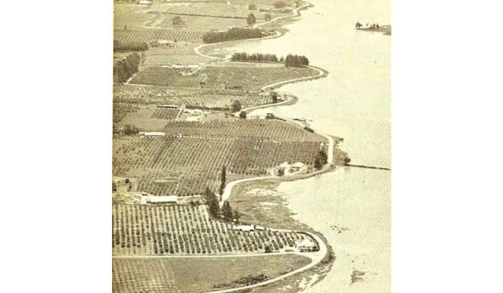
The road from Tasman to Motueka originally wound along the foreshore before turning inland at the Moutere River, joining the road at Jubilee Bridge in Lower Moutere. In 1962, Waimea County re-aligned the roadway from Tasman to Motueka, building a bridge over the Moutere Inlet and constructing the roundabout at the end of High Street. The old loops remain today, bearing names such as Martin, Rowling, Johnstone, Wood, Easton, Strong and Moana. Around 1973, the coastal route officially became State Highway 60.
