By Keiller MacDuff of RNZ
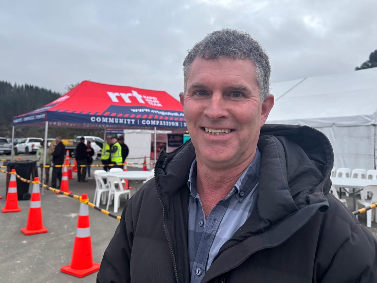
The mayor of the Tasman district says it's a fine balance warning people of potential severe weather without causing anxiety.
Nearly a year after record rainfall caused two devastating floods in June and July, damaging hundreds of homes, farms and rural properties, wiping out roads, crops and fences and causing an estimated $50 million worth of damage the region braced itself again amid days of severe weather warnings over King's Birthday weekend.
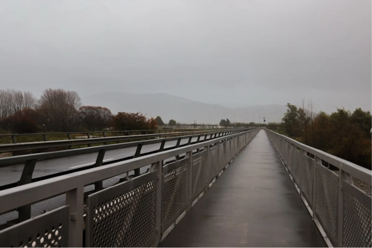
Despite heavy downfalls, particuarly about the ranges, the region appeared to escape the worst, as surface flooding and swollen rivers caused a few road closures and a lot of concern.
Mayor Tim King said it was a challenge to find the balance between keeping people informed and prepared and overstating possible outcomes.
"One of the challenges is, particularly post-June and July [floods] and events in other parts of the country, in lots of these areas that were significantly affected, every major forecast has a big impact on people.
"They're worried, they're concerned, obviously, about their properties and everything having been through big floods very recently."
But he said the complexity of predicting the weather, especially when it came to the very localised but intense downpours, meant the council had to err on the side of caution.
"The general forecasts are pretty accurate in terms of total volume of rain over a period of time.
"But these short-term bursts of rain that can happen in quite distinct areas and drop a lot of rain in a short space of time, and as in Wellington, create absolute mayhem and chaos, are virtually impossible to forecast."
Preparation for more frequent storms was "a constant work in progress", even as work continued repairing damage from the last big event.
"Obviously, we're still in a recovery mode around rivers right across the region from the June-July events, so that work's not yet complete."
Gearing up for forecasts such as the weekend's was labour and resource intensive, he said.
"Even if [staff] are not ultimately needed, they're on standby over - in this case - a long weekend. All the hydrology people who work for council, they've been on call over the last 24 hours, reading the MetService updates, putting that in the context of our own regions, providing that information through to Civil Defence and the community.
"It involves a lot of people every time there's a forecast like this. It's something we're getting used to and something we have to continue to resource."
The increased frequency of severe weather events was exhausting, but council and residents alike were left with little choice in a changing climate.
"I think people are well and truly over it, but it is something that we just have to live with and work with and the one thing you can't do is relax and just go, oh well, this one won't be an issue because that's the one that's probably going to turn out to be more of an impact.
"I'd prefer them not to be so regular, but I fear that's optimistic."
A new $5m dollar rain radar promised to the region after last year's floods was close to being up and running, King said.
He expected the site to be confirmed shortly, and hoped "in the not-too-distant future, that'll just be another tool to help people with the information that they need to make good decisions".
Previously the region had relied on the Wellington rain radar, which had blackspots over parts of the mountainous terrain, including over Nelson and into Tasman Bay.
"One of the things that rain radar does is provide more real-time information, particularly in some of the areas where it's very difficult to see exactly what's happening now.
"By the time you see it recorded in a rain gauge and then track it downstream, if it happens very quickly, that time delay can be quite important," King said.