

After almost two decades, a survey of significant native habitats across Tasman’s private land is drawing to a close.
Michael North is contracted by Tasman District Council to conduct the survey and has been working part-time since 2008 to identify areas of ecological importance across the 38% of the district that’s privately-owned.
Across Tasman, he has identified 994 sites so far, accounting for 14,728 hectares, or 4% of its private land.
“The Native Habitats Tasman project is one of our most successful long-running biodiversity initiatives. It has encouraged collaboration across the community and enabled council to provide informed advice and support where it is needed most,” a council spokesperson said.
The survey was born from the Significant Natural Areas (SNAs) work that had proved contentious with landowners and was then paused by the Government.
Subsequently, the council developed the voluntary Native Habitats Tasman (NHT) project to help meet its responsibilities for native biodiversity.
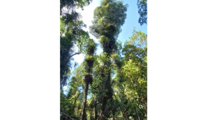
The project uses similar criteria to the SNAs but was modified to reflect what was important in the region.
“The NHT project remains voluntary and landowner-focused; the major changes relate to what is considered significant as our knowledge of biodiversity on private land improves,” a council spokesperson said.
“This consistency ensures our work is robust and aligns with the approach other councils use to identify areas of ecological importance.”
With the initial survey work now concluding, the project’s next planned stages include revisiting earlier sites to see how they were faring, developing a monitoring programme, and using the data to guide future conservation efforts.
In a presentation last month, North told elected members that “very little” had been known about biodiversity on private land before the survey.
Native biodiversity was highly degraded across parts of the region, especially the Motueka, Moutere, and Waimea catchments, and so protecting what remained was vital.
“It’s an opportunity to gather important ecological information for management purposes and for science that otherwise wouldn’t be possible,” he said.
Despite the region having lost 95% of its swamps, up to 98% of its podocarp forests, and “probably” 99% of its frost-flat shrubland, all three environments have been found on private land during the surveys.
North has also found bogs, estuarine wetlands, nīkau forest, subalpine shrubland, river delta forests, and various other environments.
He has identified 690 unique plant species – a “remarkably high” figure given that that the country had about 2500 in total – with 84 that were nationally threated or at risk.
A further 31 species have been identified that are threated or at risk.
Those species include native trees like northern rātā and scarlet mistletoe, and creatures like banded rails, kea and kākā, various giant land snails, and the Nelson green gecko.
“There has been an awful lot of enthusiasm for the information landowners have received,” North said.
“A reasonable number have been inspired to do more.”
There are existing planning rules for clearing indigenous vegetation, and having a completed survey can help landowners to identify where those rules apply.
Some landowners have also used the survey reports to support grant applications or support their application for a Queen Elizabeth II covenant, while some forestry companies used the information to guide environmental management, the spokesperson added.
Any property owner wanting to understand whether biodiversity-related planning rules apply to their property can contact the biodiversity team at Council at any time.
The council has run several schemes to support landowners’ own biodiversity projects, such as catchment enhancement and fencing funds, pest trap loan schemes, a global resource consent for large-scale wetland restoration, and otherwise provides free advice.
Landowners who haven’t yet been surveyed and wanted to be, or who wanted a greater understanding of biodiversity rules or the support available, could contact the council for more information.