
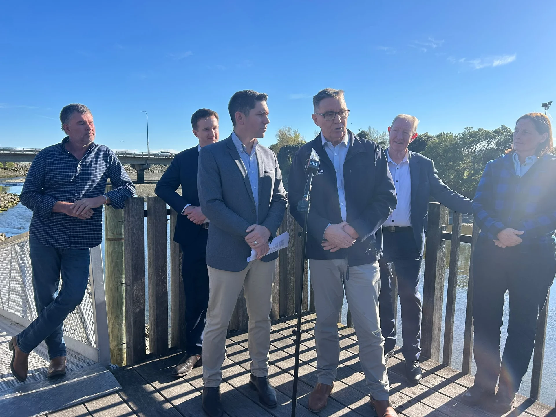
Nelson Tasman residents are a step closer to receiving faster and more accurate weather information, with a site now confirmed for the region’s long-awaited weather radar.
Emergency Management and Recovery Minister Mark Mitchell and Associate Transport and South Island Minister James Meager say the selection of the radar site marks a significant milestone for the project, which was fast-tracked by the Government after the severe weather events that hit the region in July 2025.
The Government committed up to $5 million towards the radar, aimed at improving weather monitoring and helping communities prepare for future flooding and severe weather.
James says Nelson Tasman currently has limited radar coverage and relies largely on the Wellington radar, which is unable to adequately monitor parts of northwest Tasman.
“The region has experienced several high-impact flooding events in recent years, including five states of emergency since 2011. The new radar will make a huge difference in better preparing communities for future disasters,” James says.
The radar will be built near Drumduan’s Horoirangi Peak, about 15km northeast of Nelson City and 630 metres above sea level. Its elevated position will allow weather systems across much of the region to be monitored more effectively.
MetService has confirmed the radar remains on track to be operational by mid-2027.
MetService will install and operate the radar, with ongoing annual operating costs expected to be around $260,000.
The radar will feature modern Doppler dual-polarisation technology, which provides more accurate rainfall estimates and enhanced weather monitoring capability.
