
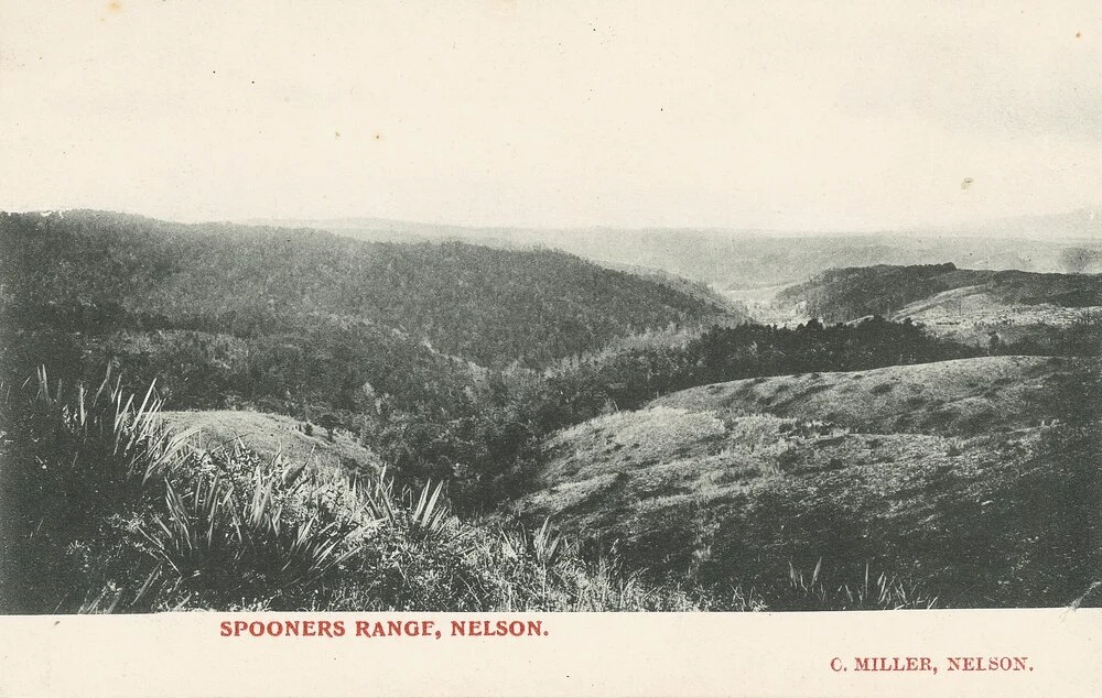
What began as a rough track through the hills evolved into a vital transport route, but Spooners Range remained a difficult and often dangerous journey for travellers throughout the 19th century.
Spooners Range takes its name from surveyor John Swinton Spooner, who arrived in Nelson in 1843 aboard the ship Indus.
John, along with Charles Heaphy, quickly became involved in exploring the Nelson and West Coast regions and was responsible for surveying the first road over the range which later took his name.
The first access over the hill was little more than a track, but by the early 1860s the section of road from Foxhill over the range and down Norris's Gully had been improved to cope with increased traffic. Felling and clearing bush, along with removing roots and tree stumps, transformed it into a dray road, a rough, narrow route just wide enough for a horse-drawn cart.
Work continued over the following years, with tenders called in mid-1866 for further improvements, including a mile of side-cutting. This earthwork technique involved carving a road into the side of a hill, excavating the uphill slope to create a level surface and using some of the material to build up the downhill side.
Travellers were warned against the practice of "lock chain", which was commonly used when descending steep hills. The technique involved locking dray wheels, but it damaged the road surface by creating deep ruts.
Despite ongoing improvements, the hill remained a challenge for horses pulling wheeled vehicles up its steep inclines. Travellers were often encouraged to use packhorses instead.
In early 1873, about 40 chains of road were rebuilt. In August that year, several men spent weeks widening sections of the road to allow two drays to pass each other safely. Another worker was employed for a week to remove large stones and rocks from the route.
The floods that swept through the district in 1877 caused extensive damage, making much of the road almost impassable for cart traffic and leaving large holes in the surface. The damage reinforced concerns that the route was dangerous and needed to be re-routed before someone was seriously injured or killed.
Those concerns appear to have been heeded. A sum of £600 was placed in the hands of the Motueka Valley Road Board to construct a new road on the western slope of Spooners Range. By June, the new route was almost complete and had been inspected by the board's overseer, although he believed there was still scope to shorten the distance without increasing the gradients.
The Waimea County Council later called for tenders to improve the road further by creating a uniform width and more consistent gradients. The successful contractors were R. Edgar and G. Kidson.
One of the route's curiosities was a section known as Windy Point. Located just below the summit, it was no more exposed than other parts of the hill, yet travellers reported encountering strong winds along a short stretch of about 100 yards. When conditions were windy elsewhere, the area was said to experience gale-force gusts.
Travellers were again criticised in mid-1880 for placing stones behind their wheels while climbing Spooners Range and then failing to remove them, creating dangerous obstructions for others using the road.
